Aerial Survey & Mapping Infrastructure Inspection AI-Powered Reporting Drone Training & Certification Drone Rental Consulting & Program Setup View All Services
Construction & Engineering Mining & Quarries Real Estate & Property Agriculture & Plantations Energy & Utilities Government & Municipal Environmental & Conservation Infrastructure & Transport Telecommunications Film & Media Production Security & Surveillance Hospitality & Tourism View All Industries
About Resources Contact

hello@aeronexus.com

+65 0000 0000
Get a Quote
Inspiring Flight, Powering Industry

See Your World
From Above

Professional drone survey, inspection, and training services powered by AI-driven analytics. We don't just fly — we deliver actionable intelligence.

500+

Missions Completed

99.8%

Flight Safety Record

24hr

Report Turnaround

CAA

Certified Operators

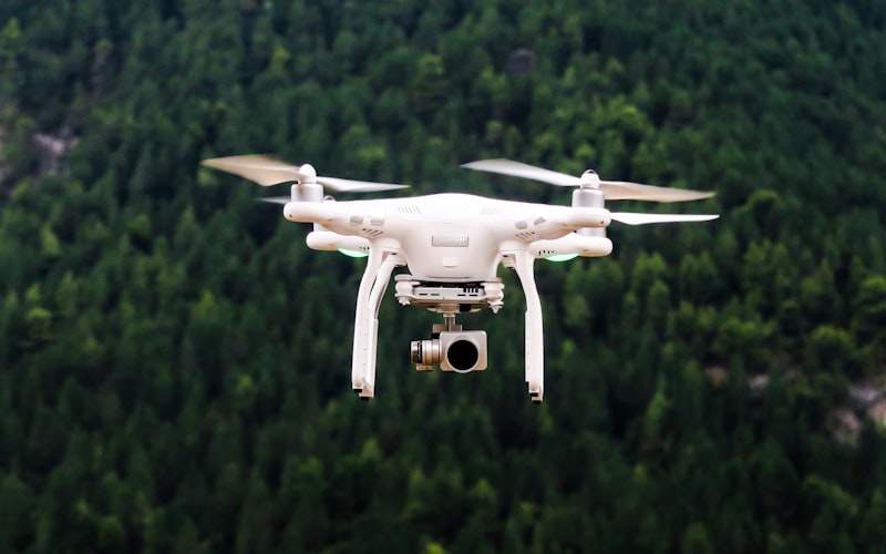
End-to-End Drone Solutions

From flight planning to AI-powered deliverables, we handle the complete aerial workflow so you can focus on decisions, not data.

Aerial survey drone view

Aerial Survey & Mapping

High-resolution orthomosaic maps, 3D terrain models, and volumetric analysis for construction, mining, and land development projects.

Core Service
Infrastructure bridge inspection

Infrastructure Inspection

Detailed visual inspection of buildings, bridges, towers, solar panels, and industrial assets — eliminating risky manual access.

High Demand
AI data analytics dashboard

AI-Powered Reporting

Our proprietary analysis engine transforms raw drone data into professional reports with automated insights, change detection, and risk assessment.

Our Edge
Drone pilot training session

Drone Training & Certification

Comprehensive pilot training programs from beginner to commercial certification. Classroom theory, simulator practice, and hands-on flight hours.

Academy
Professional drone equipment

Drone Rental

Flexible rental packages — from compact survey drones to heavy-lift inspection platforms. Available with or without a certified pilot.

Flexible Plans
Business consulting and planning

Consulting & Program Setup

Help organizations build internal drone capabilities — fleet selection, SOPs, regulatory compliance, and data workflow design.

Enterprise

AI-Powered
Aerial Intelligence

Most drone operators hand you raw data. We deliver answers. Our proprietary AI reporting engine processes aerial imagery into professional, actionable intelligence reports.

Automated Change Detection

Compare survey data across time to automatically flag progress, deviations, and anomalies on construction and inspection sites.

Professional Report Generation

Receive branded, client-ready PDF reports with annotated imagery, executive summaries, measurements, and risk assessments within 24 hours.

Predictive Risk Insights

AI models trained on historical data identify potential structural, environmental, or progress risks before they become critical.

01

Data Capture

High-res imagery, LiDAR, multispectral sensors

02

Processing & Stitching

Orthomosaics, point clouds, 3D mesh generation

03

AI Analysis Engine

Anomaly detection, measurements, change tracking

04

Report Generation

Professional PDF with insights & recommendations

05

Client Dashboard

Interactive portal with historical data & trends

Industries That Fly With Us

Our drone services and AI analytics adapt to the unique requirements of each sector.

Construction & Engineering Mining & Quarries Real Estate & Property Agriculture & Plantations Energy & Utilities Government & Municipal Environmental & Conservation Infrastructure & Transport Telecommunications Film & Media Production Security & Surveillance Hospitality & Tourism

Why Choose Us

We're not just drone pilots — we're your aerial intelligence partner.

01

Certified Experts

Licensed and insured pilots with multi-platform certification and thousands of flight hours.

02

AI-Driven Insights

Proprietary analysis engine that turns aerial data into decisions — not just pretty pictures.

03

24hr Turnaround

From flight to finished report in under 24 hours. Because your project timelines don't wait.

04

Full-Stack Service

Capture, process, analyze, report. One provider, one point of contact, zero hassle.

Let's Get Your Project
Off the Ground

Contact us for a free consultation and quote tailored to your needs.

Get a Quote Contact Us